Seismic exploration methods
Seismic methods not only play a central role in the geophysical exploration of deposits (oil and gas, lignite, copper, uranium, natural mineral ressources, salt and geothermal). They also can be applied to provide suitable solutions in the field of construction and the environmental sector. We offer the following services:
- Planning and modelling of seismic survey patterns (survey design)
- Performance of high-resolution 2D/3D-seismic measurements
- Processing and Reprocessing of 2D/3D-seismic reflection and refraction data
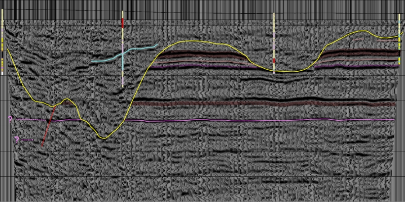
- Geological interpretation of 2D/3D-seismic reflection data
- Data conversion between different data/file formats and various storage media

A particular strength in our range of services is near-surface seismology. In the vicinity of one of the biggest lignite producers worldwide the development and improvement of this technique played an important role in mapping of geological sub-surface structures during the last 3 decades. The resulting technology can also be applied in the following fields:
- Exploration of potash deposits and shallow hydrocarbon reservoirs
- Investigation of underground storages and in the scope of water development
- Tasks related to engineering geology (subsoil investigation)
- Tasks in the scope of environmental protection
- Landfills, legacy of pollution and infrastructure development (e.g. dikes)

In addition, refraction seismology is used to determine different propagation velocities in order to, for example, draw conclusions on rock lithology. The method is often used for:
- Sub-soil and hydrogeological investigations
- Low-velocity-layer (LVL)-measurements in order to determine the necessary depths of explosives for reflection seismology and to calculate static corrections in the course of processing of 2D/3D reflection seismic data.
- Determination of propagation velocities of P- and S-waves.
- Estimation of rock classes

S-wave velocity profiles can also be derived through Multichannel Analysis of Surface Waves - MASW.
We also apply seismic methods to boreholes:
- VSP (Vertical Seismic Profiling) with a 3-component-borehole probe, velocity determination by use of hydrophone strings
- Processing and reprocessing in order to determine reflective layer boundaries and assign petrological properties
- Structural investigation of the area close to the borehole, also below the borehole
- Scanning, vectorisation, editing and resampling of bore logs (log processing)
- Conversion of logging data into time domain
- Calculation of synthetic seismograms (with/without multiples and absorption) to support the interpretation of seismic reflection data
In order to obtain physical parameters the space between boreholes, mines and ground surface can be investigated by seismic tomography for:
- Mapping of the structure
- Detection of cavities
- Injection control
- Determination of rock classes
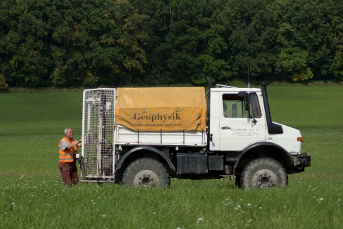
We perform seismic surveys with a modern seismic acquisition system (S·Land Hybrid Data Acquisition System by
Seismic Instruments Inc.)with more than 700 digital geophones.
Additionally, hydrophones, horizontal geophones and geophone strings as well as a 48-channel landstreamer can be used with the SI
system, which allows telemetric data transmission as well as wireless usage.
For special purposes we also use a ABEM Terralogic system.
Our acquisition system is completed by seismic sources such as accelerated weightdrops EWG-III and EWG-I, a SISSY device as well as vibrators of
different size and energy levels provided by our partners.
For borehole seismology we own a p- and s-wave sparker.
Apart from that we company and several staff hold the respective certificates to use explosives as a seismic source.

