SERVICES — PLANNING
Prior as well as during geophysical and particularly seismic measurements we are taking care about all necessary steps according to the legal framework and with a special focus on the project goal.
Our expertise covers:
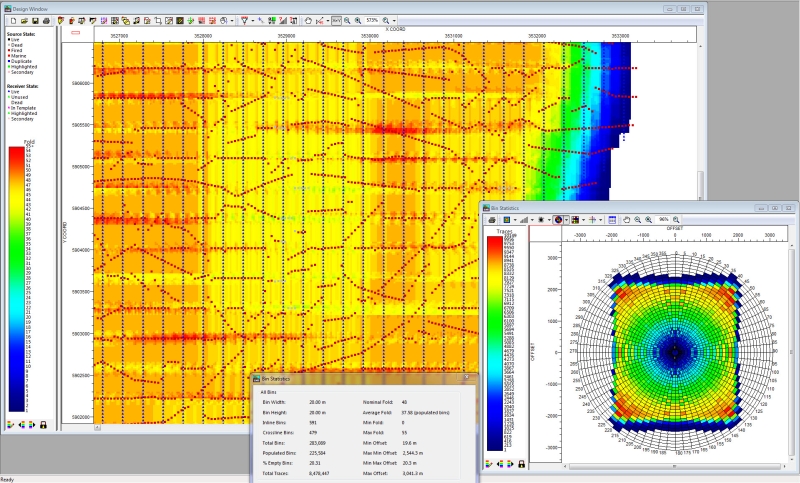
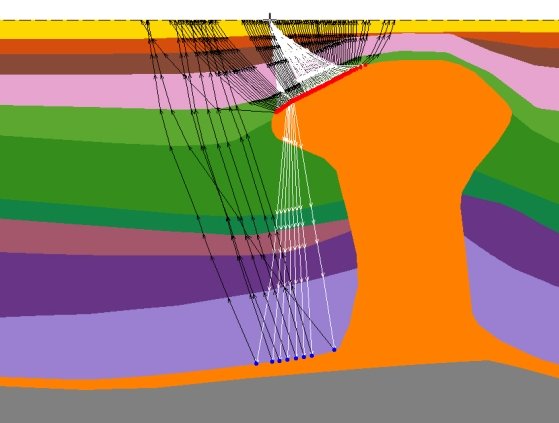
- Survey design, including planning and modelling of measurement configurations in order to obtain optimal results of high spatial resolution in the target depth
- Online-survey-design, adaption of changes to measurement configurations during acquisition in response to permit issues or other limitations in access
- GIS-related work during field acquisition
- Compilation of legal documents ("Betriebsplan") to be submitted to the relevant mining authorities (Bergamt) such as needed in order to get permission to conduct seismic measurements
- Scouting, i.e., inspection of the survey area by foot and car to assess the on-site situation in order to bring forward the detailed planning of measurement configurations and possibly conducting a preservation of evidences before the start of geophysical measurements
- Permit, i.e., obtaining authorisations to enter private and public ground, the latter in close contact with offical authorities and with respect to legal limitations (environmental, european and traffic laws, etc.)


