
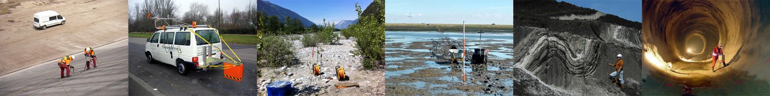
SERVICES — INTERPRETATION
Subsequent to processing we offer the integrated geological interpretation of all geophysical information and supplemental data.
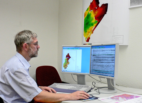
Every employee of our team gained field experience as well as profound knowledge with regard to analysing
and processing of geophysical data. We consider this widespread expertise of our staff a valuable advantage when
it comes to the assessement and interpretation of the recorded data and our ambition to deliver results of constant
high quality.
Apart from personal knowledge and long-term experience we higly appreciate detailed information regarding the
investigation area such as provided by our clients to achieve the best possible exploration results.
This information includes borehole data as well as available information regarding topography and recent plant
coverage, regional- and local near-surface geology, ground water level, etc.
In seismology the geological interpretation typically includes:
- Creation of geological models by combination of results from seismic sections or 3D-seismic data using industry software, i.e., IHS Kingdom and Schlumberger Petrel
- Modeling of geological structures
- Seismic facies analysis
- 1D inversion
- Log interpretation, density-analysis
- AVO analysis
- Determination of physical properties (modules) as needed in the field of engineering geophysics and construction projects
Potential field methods are commonly used to detect disruptive bodies or elements. Accordingly interpretation usually focuses on:
- Qualitative interpretation of potential field data distributions
- Compilation of maps highlighting potential field anomalies and areas of potential concern (e.g., environmental geology, engineering geology)
- 2D/3D modelling of geological structures and anomalies
- Joint interpretation with seismic data