SERVICES — VECTORISATION
Digitising and vectorisation of vintage data provides major advantages:
- Space-saving storage of precious data sets and copies at different location raises data integrity
- Digital archiving of documents previously on paper ensures long-term safety
- If necessary the data can be accesses from all over the world
- Once in a digital format the data can be edited and further processed with different software solutions
- By transformation of data into current data formats the information will remain accessible by new software in the future
We offer:
- Scanning of documents (e.g., paper, parchment, foils) in standard-DIN sizes up to A0 using flat bed scanners including photo editing and retouching
- Professional multi-point rectification of maps, mine plans etc.
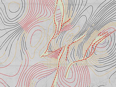
- Vectorisation of geophysical or geological maps and sections with subsequent processing e.g. in ArcGIS (2D/3D)
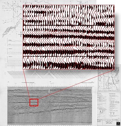
- Vectorisation of seismic sections on paper (wiggle and density plots) with possible subsequent re-processing and migration.
- Vectorisation of geophysical logging data
- Digitalisation of lithologs, borehole-data etc. by use of GeODin or similar software


